Original: $24.61
-65%$24.61
$8.61The Story
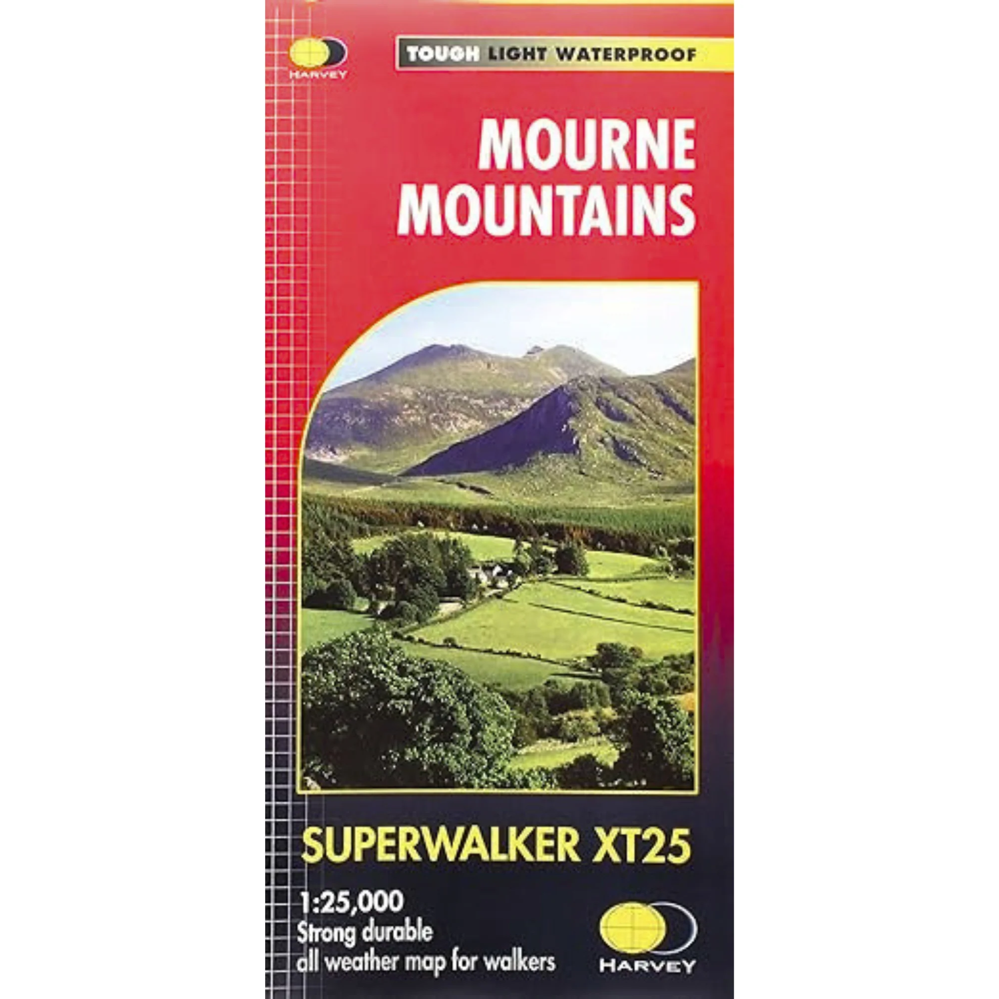
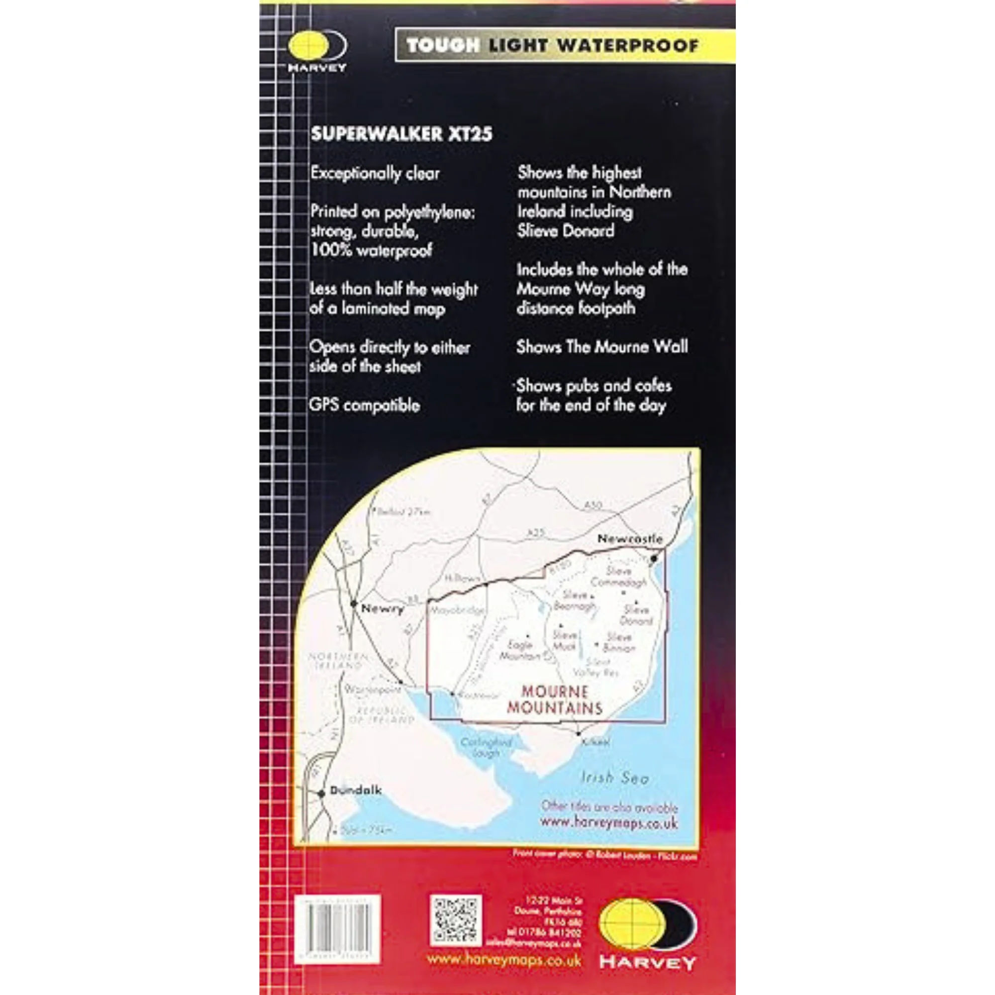
Harvey Mourne Mountains Superwalker XT25 Map is printed on strong, durable 100% waterproof polyethylene, is less than half the weight of a laminated map and is GPS compatible.
The Mournes, a granite mountain range in County Down, includes the highest mountains in Northern Ireland. The highest is Slieve Donard at 850 metres.
The Mournes is an Area of Outstanding Natural Beauty and has been proposed as the first national park in Northern Ireland. The area is partly owned by the National Trust and sees a large number of visitors every year.
The Mourne Wall is among the more famous features in the Mournes. It is a 35km (22mls) drystone wall that crosses fifteen summits, constructed in 1904 and completed in 1922 to define the boundaries of land purchased by the Belfast Water Commissioners in the late 1800s.
Includes The Mourne Way Long Distance Footpath.
Includes:
- The Mourne Wall
- The Mourne Way long distance footpath
- The highest mountains in Northern Ireland including Slieve Donard
- Pubs and cafes for the end of the day
Details:
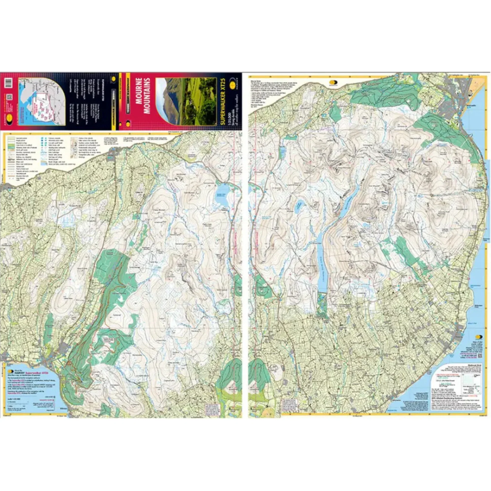
- Scale: 1:25,000
- Ratio: 4cm = 1km
- Flat size: 696 x 486mm
- Folded size: 116 x 243mm
- Weight: 33gms
- Area of mapping: 353sqkm
- Double sided
Harvey Mourne Mountains Superwalker XT25 Map 1:25,000 HMOURNE
Details & Craftsmanship
Every detail has been carefully considered to bring you the perfect product.
Details & Craftsmanship
Every detail has been carefully considered to bring you the perfect product.
Description
Harvey Mourne Mountains Superwalker XT25 Map is printed on strong, durable 100% waterproof polyethylene, is less than half the weight of a laminated map and is GPS compatible.
The Mournes, a granite mountain range in County Down, includes the highest mountains in Northern Ireland. The highest is Slieve Donard at 850 metres.
The Mournes is an Area of Outstanding Natural Beauty and has been proposed as the first national park in Northern Ireland. The area is partly owned by the National Trust and sees a large number of visitors every year.
The Mourne Wall is among the more famous features in the Mournes. It is a 35km (22mls) drystone wall that crosses fifteen summits, constructed in 1904 and completed in 1922 to define the boundaries of land purchased by the Belfast Water Commissioners in the late 1800s.
Includes The Mourne Way Long Distance Footpath.
Includes:
- The Mourne Wall
- The Mourne Way long distance footpath
- The highest mountains in Northern Ireland including Slieve Donard
- Pubs and cafes for the end of the day
Details:
- Scale: 1:25,000
- Ratio: 4cm = 1km
- Flat size: 696 x 486mm
- Folded size: 116 x 243mm
- Weight: 33gms
- Area of mapping: 353sqkm
- Double sided
Harvey Mourne Mountains Superwalker XT25 Map 1:25,000 HMOURNE