Original: $10.30
-65%$10.30
$3.60The Story
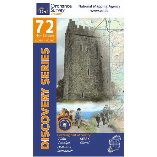
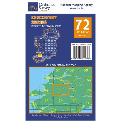
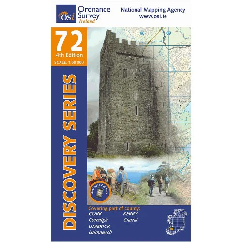
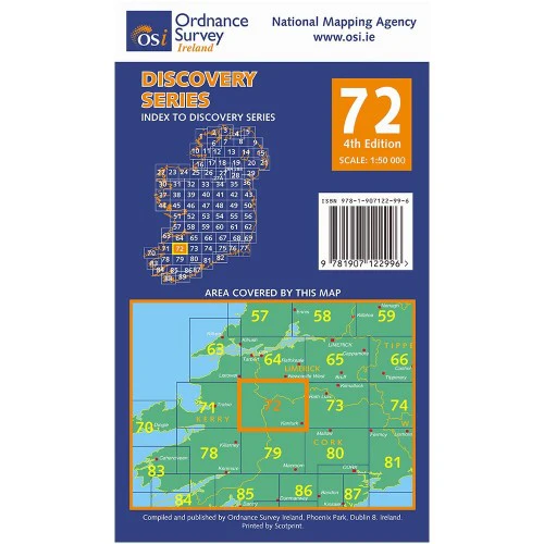
Ordnance Survey Map Sheet 72 | Part of Cork, Kerry and Limerick
Map includes:
- Abbeyfeale
- Banane Loop Walk
- Brosneen Loop Walk
- Castleisland (part of)
- Doctor's Hill Loop Walk
- Dromcolliher
- Glanaruddery Mountains | Sléibhte Ghleann an Ridire
- Kanturk
- Newmarket
- Reanahown Loop Walk
- Rowls-Langford Loop Walk
- Great Southern Trail Greenway: Abbeyfeale to Ballymurragh East
- Mullaghareirk Mountains | Mullach an Radhairc
- Source of Blackwater Loop Walk
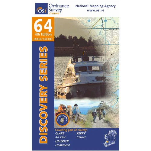
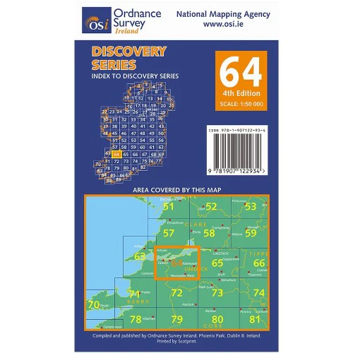
Discovery maps are produced at a scale of 1:50,000 (or 2cm on paper equals 1 kilometre on the ground). Each Discovery Sheet covers an area of 40km x 30km surface area (with the exception of several portrait-format sheets, which are 42km x 32km). There are 93 sheets in the series; 75 are produced by Ordnance Survey Ireland, and 18 by Ordnance Survey Northern Ireland. The maps produced by Ordnance Survey Northern Ireland are called the Discoverer Series.
This is a comprehensive series of feature-rich maps which show detailed landscape information, like rivers, lakes, contours and many townland names. The Discovery Series is designed primarily for tourist and leisure activities; these maps are the preferred choice for hill walkers and those in pursuit of the great outdoors. It is also an ideal reference for location-focused business use, in pocket-friendly folded form or as a wall-mounted reference.
OSI Discovery Map 72 Part of Cork, Kerry & Limerick 1:50,000 OSI72
Details & Craftsmanship
Every detail has been carefully considered to bring you the perfect product.
Description
Ordnance Survey Map Sheet 72 | Part of Cork, Kerry and Limerick
Map includes:
- Abbeyfeale
- Banane Loop Walk
- Brosneen Loop Walk
- Castleisland (part of)
- Doctor's Hill Loop Walk
- Dromcolliher
- Glanaruddery Mountains | Sléibhte Ghleann an Ridire
- Kanturk
- Newmarket
- Reanahown Loop Walk
- Rowls-Langford Loop Walk
- Great Southern Trail Greenway: Abbeyfeale to Ballymurragh East
- Mullaghareirk Mountains | Mullach an Radhairc
- Source of Blackwater Loop Walk
Discovery maps are produced at a scale of 1:50,000 (or 2cm on paper equals 1 kilometre on the ground). Each Discovery Sheet covers an area of 40km x 30km surface area (with the exception of several portrait-format sheets, which are 42km x 32km). There are 93 sheets in the series; 75 are produced by Ordnance Survey Ireland, and 18 by Ordnance Survey Northern Ireland. The maps produced by Ordnance Survey Northern Ireland are called the Discoverer Series.
This is a comprehensive series of feature-rich maps which show detailed landscape information, like rivers, lakes, contours and many townland names. The Discovery Series is designed primarily for tourist and leisure activities; these maps are the preferred choice for hill walkers and those in pursuit of the great outdoors. It is also an ideal reference for location-focused business use, in pocket-friendly folded form or as a wall-mounted reference.
OSI Discovery Map 72 Part of Cork, Kerry & Limerick 1:50,000 OSI72