Original: $27.48
-65%$27.48
$9.62The Story
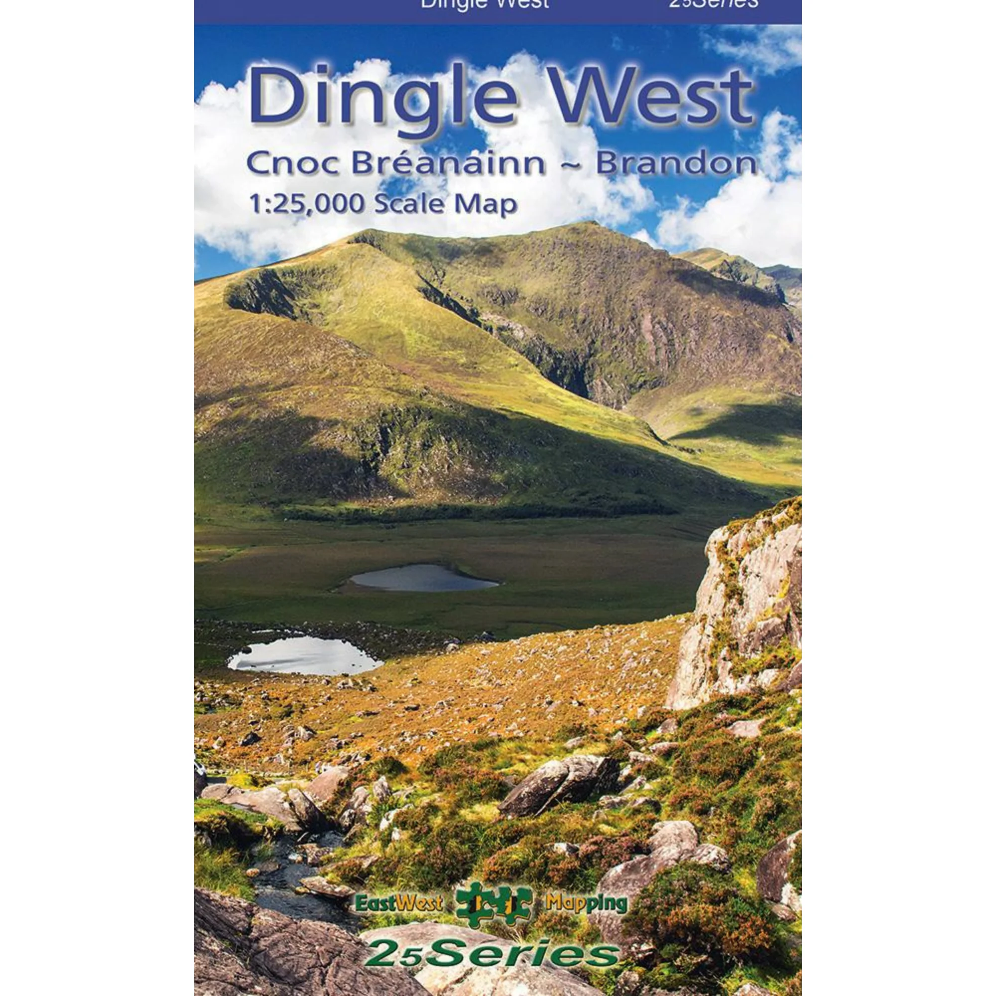
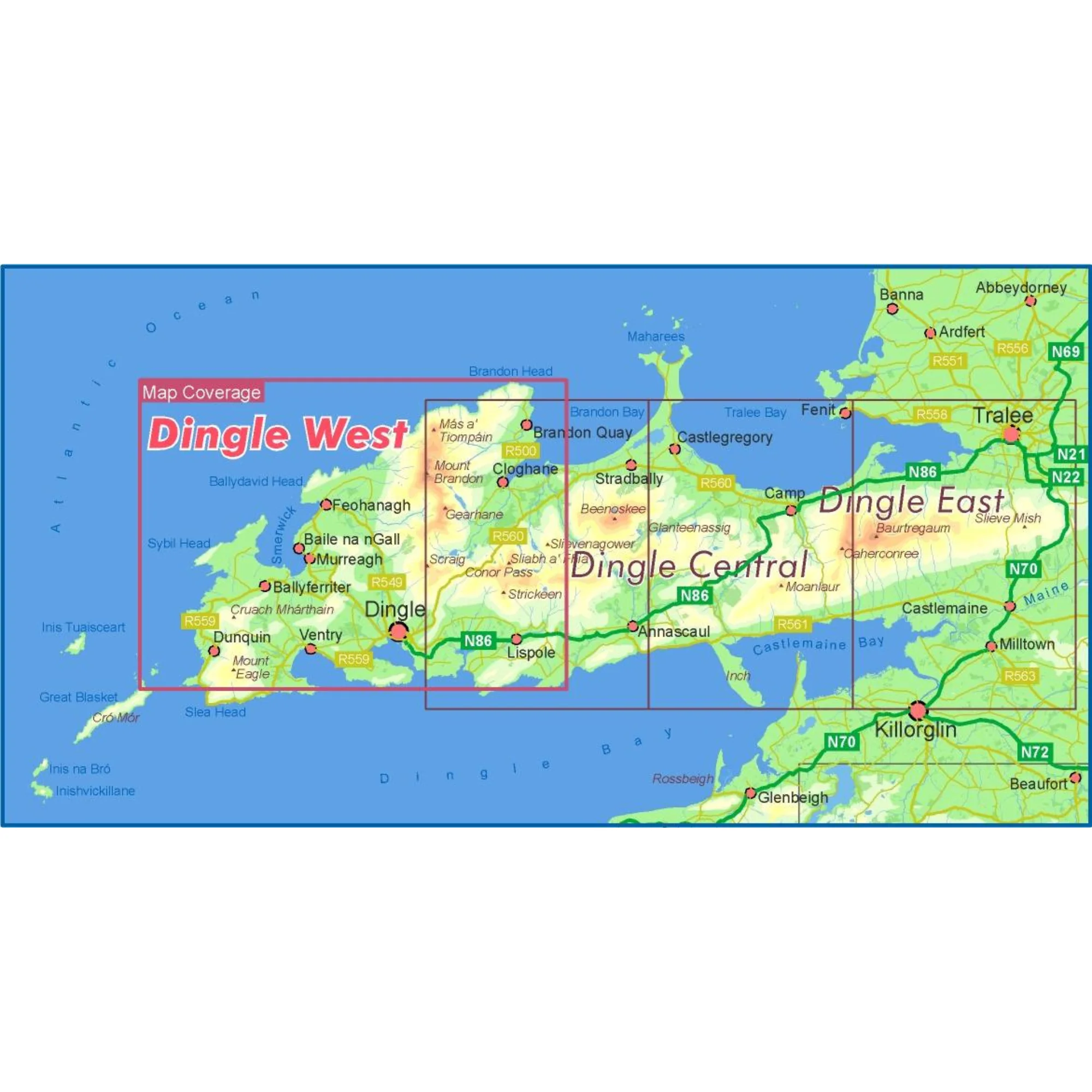
Definitive detailed map at 1:25,000 scale covering the western end of the Dingle peninsula – from Dunquin to the Conor Pass and including Mount Brandon.
Produced to EastWest Mapping's 25Series standard, this general topographic map has a 5 metre contour interval for fine navigation. Signposted walking trails are depicted. Detailed topographic map with many place names and heritage sites.
Printed on good quality Progeo 90gsm map paper. The map sheet measures 1125mm x 820mm, covering 550 sq kilometres and is folded down to 125mm x 205mm. Note that the tip of Slea Head is not shown.
Details:
-
Laminated for durability and weatherproofing
- Weight: 100g
- Dimensions: 20.5 × 12.5 × .5 cm
- Published 2023
EastWest Mapping Dingle West ~ Brandon Waterproof 1:25,000 Scale Map EWDWB-WP

Details & Craftsmanship
Every detail has been carefully considered to bring you the perfect product.
Details & Craftsmanship
Every detail has been carefully considered to bring you the perfect product.
Description
Definitive detailed map at 1:25,000 scale covering the western end of the Dingle peninsula – from Dunquin to the Conor Pass and including Mount Brandon.
Produced to EastWest Mapping's 25Series standard, this general topographic map has a 5 metre contour interval for fine navigation. Signposted walking trails are depicted. Detailed topographic map with many place names and heritage sites.
Printed on good quality Progeo 90gsm map paper. The map sheet measures 1125mm x 820mm, covering 550 sq kilometres and is folded down to 125mm x 205mm. Note that the tip of Slea Head is not shown.
Details:
-
Laminated for durability and weatherproofing
- Weight: 100g
- Dimensions: 20.5 × 12.5 × .5 cm
- Published 2023
EastWest Mapping Dingle West ~ Brandon Waterproof 1:25,000 Scale Map EWDWB-WP