Original: $17.17
-65%$17.17
$6.01The Story
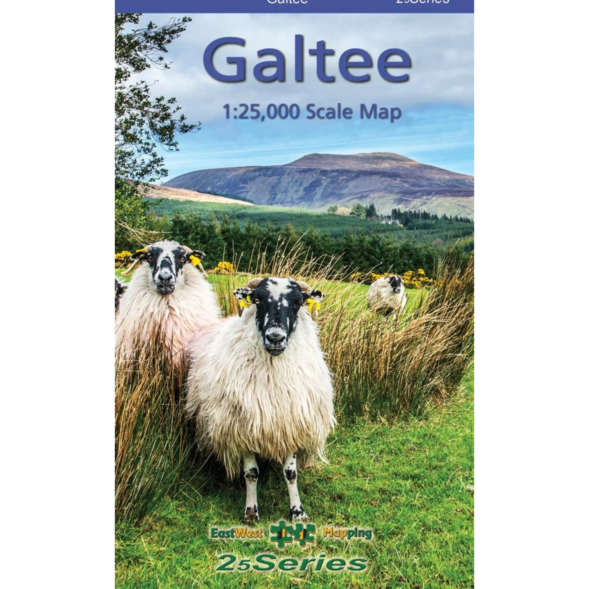
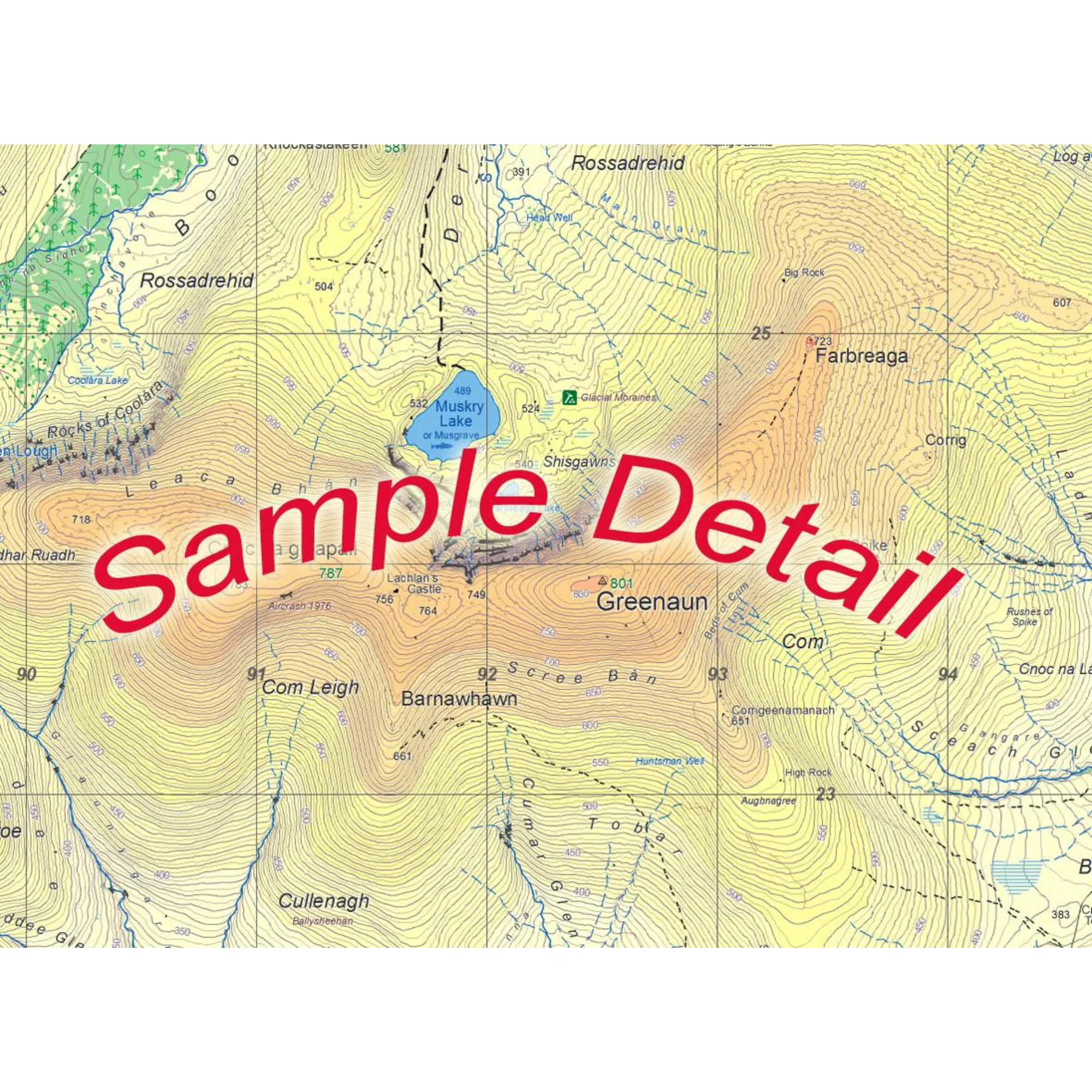
Definitive detailed map at 1:25,000 scale covering from Mitchelstown to Cahir and from Clogheen to Lisverane. Covers the Galtee Mountains and hinterland. Produced to EastWest Mapping's 25Series standard, this general topographic map has a 5 metre contour interval for fine navigation. Signposted walking trails and greenways are depicted.
EastWest Mapping have conducted considerable research into local sites & placenames and much information is recorded on a map here for the first time.
Printed on good quality Progeo 90gsm map paper. The map sheet measures 1125mm x 820mm, covering 550 sq kilometres and is folded down to 125mm x 205mm.
- Paper quality: Progeo 90gsm map paper
- Open dimensions: 112.5cm x 82cm
- Folded dimensions: 12.cm x 20.5cm
- Surveyed & published: 2019-2024.
- Paper map - not waterproof
- Scale: 1:25,000
- Contour Interval: 5 metres
1:25,000 Scale : 1 centimetre on the map = 250 metres on the ground.
Check out EastWest Mapping's FAQ section for Care Instructions and Key to Symbols
EastWest Mapping Galtee Mountains Paper Map 1:25,000 EWGALTEE

Details & Craftsmanship
Every detail has been carefully considered to bring you the perfect product.
Details & Craftsmanship
Every detail has been carefully considered to bring you the perfect product.
Description
Definitive detailed map at 1:25,000 scale covering from Mitchelstown to Cahir and from Clogheen to Lisverane. Covers the Galtee Mountains and hinterland. Produced to EastWest Mapping's 25Series standard, this general topographic map has a 5 metre contour interval for fine navigation. Signposted walking trails and greenways are depicted.
EastWest Mapping have conducted considerable research into local sites & placenames and much information is recorded on a map here for the first time.
Printed on good quality Progeo 90gsm map paper. The map sheet measures 1125mm x 820mm, covering 550 sq kilometres and is folded down to 125mm x 205mm.
- Paper quality: Progeo 90gsm map paper
- Open dimensions: 112.5cm x 82cm
- Folded dimensions: 12.cm x 20.5cm
- Surveyed & published: 2019-2024.
- Paper map - not waterproof
- Scale: 1:25,000
- Contour Interval: 5 metres
1:25,000 Scale : 1 centimetre on the map = 250 metres on the ground.
Check out EastWest Mapping's FAQ section for Care Instructions and Key to Symbols
EastWest Mapping Galtee Mountains Paper Map 1:25,000 EWGALTEE